
Time zone EET (UTC+2) Vehicle registration Z Local time Tuesday 7:32 AM | Elevation 370 m (1,210 ft) Postal code 145 72 Website www.drosia.gr Area code 210 | |
 | ||
Weather 9°C, Wind SW at 3 km/h, 74% Humidity | ||
Kosexplorer com palia drosia restaurant kos town kos island
Drosia (Greek: Δροσιά, meaning "dew", before 1947: Ρωσσοχώρι - Rossochori) is a suburban town in Attica, Greece. Since the 2011 local government reform it is part of the municipality Dionysos, of which it is a municipal unit.
Contents
- Kosexplorer com palia drosia restaurant kos town kos island
- Map of Drosia Greece
- Drosia thassos greece
- Geography
- History
- References
Map of Drosia, Greece
Drosia is a mainly residential suburb, known for its location in the midst of evergreen pine forests. During the extreme heat of Greek summers, many Athenians drive up to Drosia on the weekends, seeking cool and shade in the taverns, cafes and one outdoor cinema theater, for which the area is known.
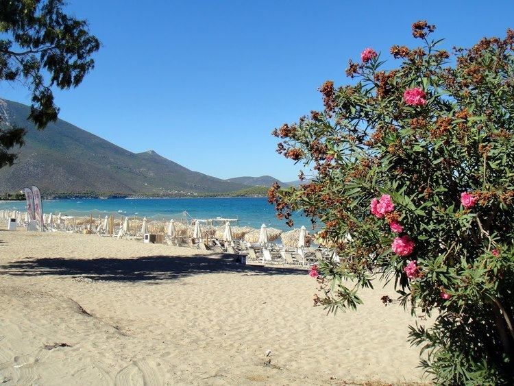
Drosia thassos greece
Geography
Drosia is situated in the hills in the northeastern part of the Athens conurbation, at about 370 m elevation. The municipal unit has an area of 2.201 km2. It lies at the northwestern foot of the Penteliko Mountain. It is 1 km southwest of Stamata, 3 km northeast of Ekali, 3 km south of Agios Stefanos and 19 km northeast of Athens city centre. Its built-up area is continuous with those of the neighbouring suburbs Stamata, Rodopoli, Dionysos and Ekali. Greek National Road 83 (Athens - Marathon - Rafina) passes through Drosia.
History
A former rural village, Drosia started growing with the arrival of refugees from Pontus after the Greco-Turkish War of 1919-1922. Originally named Rossochori, it was renamed to Drosia in 1947. It was part of the community of Stamata until 1950, when it became a separate community.