
 | ||
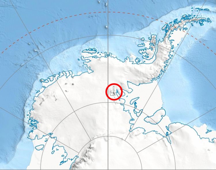
Dropla Gap (Bulgarian: седловина Дропла, ‘Sedlovina Dropla’ se-dlo-vi-'na dro-'pla) is the flat, ice-covered saddle of elevation 850 m in north-central Sentinel Range in Ellsworth Mountains, Antarctica, extending 1.35 km to link Maglenik Heights to the west and Barnes Ridge to the east. It is part of the glacial divide between Young Glacier to the north and Arapya Glacier to the south.
Contents
The gap is named after the settlements of Dropla in Northeastern and Southeastern Bulgaria.
Location
Dropla Gap is centred at 78°08′15″S 84°58′20″W. US mapping in 1961, updated in 1988.
Maps
References
Dropla Gap Wikipedia(Text) CC BY-SA