
Country Netherlands Local time Tuesday 5:35 AM Municipality Menameradiel | Population 3,405 (Jan 2008) Province Friesland | |
 | ||
Weather 5°C, Wind NE at 10 km/h, 92% Humidity | ||
Dronrijp (West Frisian: Dronryp) is a town in the Dutch municipality of Menaldumadeel. On January 1, 2008, it had 3,405 inhabitants.
Contents
- Map of Dronrijp Netherlands
- History and architecture
- Miscellaneous information
- Transportation
- Windmills
- References
Map of Dronrijp, Netherlands
History and architecture
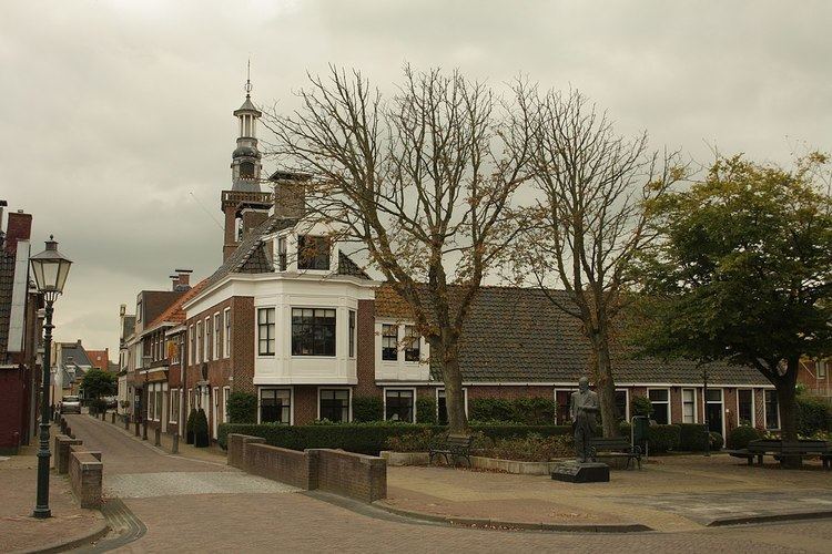
A few centuries BC, a settlement developed around where the street Tsjerkebuorren is now (Stenvert et al., 2000). Another settlement came into existence nearby when a canal between Leeuwarden and Harlingen was completed in 1507. (Part of it was filled up in 1940.) Between roughly 1850 and 1950, these two gradually merged.
The oldest known reference to the town dates from 1132, when it was called Denningrip, meaning a "rip" (narrow stretch of land) where a family called Drenninga lived
Of the old mansions in the area only the early 18th century Schatzenburg remains.
Miscellaneous information
The Van Harinxma canal, completed in 1953, runs along the south side of the town. The A31 runs along the north side. Dronrijp also has a railway station.
Painter Sir Lawrence Alma-Tadema was born in the house at 2 Dûbelestreek, Eise Eisinga, famous for his planetarium, at 13 Tsjerkebuorren.
Transportation
Windmills
There are three windmills in Dronrijp; De Poelen, Kingmatille, and the Hatsumermolen.