
Area 26.91 km² | Local time Tuesday 4:42 AM | |
 | ||
Weather -1°C, Wind N at 5 km/h, 90% Humidity | ||
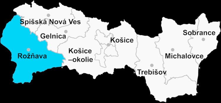
Drnava (Hungarian: Dernő) is a village and municipality in the Rožňava District in the Košice Region of eastern Slovakia.
Contents
Map of 049 42 Drnava, Slovakia
History
In historical records the village was first mentioned in 1364.
Geography
The village lies at an altitude of 382 metres and covers an area of 26.906 km². It has a population of about 675 people.
Ethnicity
The population is about 72% Magyar and 28% Slovak in ethnicity.
Culture
The village has a small public library, a gymnasium, a football pitch and a food store.
References
Drnava Wikipedia(Text) CC BY-SA