
Elevation −1 m (−3 ft) Area code 0228, 0229 Local time Tuesday 12:26 AM | Established 1 January 1979 Time zone CET (UTC+1) Area 80.72 km² | |
 | ||
Postcode 1606–1609, 1616–1617, 1696–1697 Weather 6°C, Wind NW at 8 km/h, 95% Humidity | ||
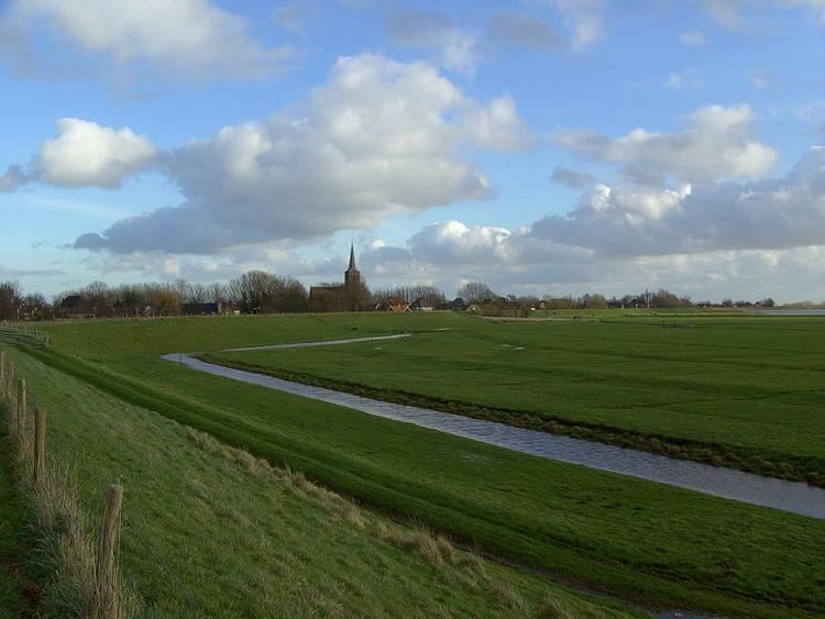
Drechterland ( pronunciation ) is a municipality in the Netherlands, in the province of North Holland and the region of West-Frisia. The municipality was formed in 1979, in a merger of the former municipalities of Hoogkarspel, Westwoud en Oosterblokker. Its original name, Bangert, was changed to "Drechterland" in 1980. In 2006, the former municipality of Venhuizen was added to Drechterland.
Contents
Map of Drechterland, Netherlands
Population centres
The municipality of Drechterland consists of the following cities, towns, villages and/or districts: Hem, Hoogkarspel, Oosterblokker, Oosterleek, Oosterwijzend, Schellinkhout, Venhuizen, Westerwijzend, Westwoud, Wijdenes.
Dutch topographic map of the municipality of Drechterland, June 2015
Local government
The municipal council of Drechterland consists of 17 seats, which are divided as follows: