
 | ||
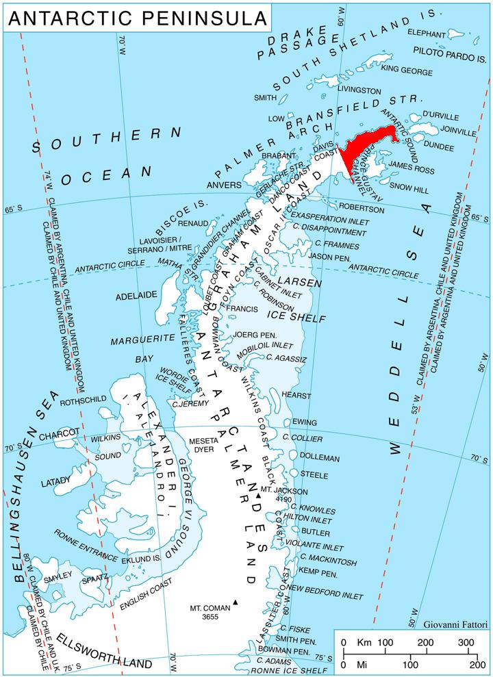
Draka Nunatak (Bulgarian: нунатак Драка, ‘Nunatak Draka’ \'nu-na-tak 'dra-ka) is the lens-shaped rocky ridge extending 4.2 km and 1.9 km wide, with twin heights rising to 750 m on the southwest coast of Sjögren Inlet on southern Trinity Peninsula in Graham Land, Antarctica.
Contents
The feature is named after the settlements of Draka and Drakata in Southeastern and Southwestern Bulgaria respectively.
Location
Draka Nunatak is located at 64°15′06″S 59°10′06″W, which is 6.32 km south-southwest of Vetrovala Peak, 15.48 km west-southwest of Mount Wild, 38 km north of Cape Longing, 24.13 km east-northeast of Dolen Peak and 10.74 km southeast of Mount Hornsby.
Maps
References
Draka Nunatak Wikipedia(Text) CC BY-SA