
Area 17.55 km² | Local time Monday 7:44 PM | |
 | ||
Weather 7°C, Wind SE at 6 km/h, 85% Humidity | ||
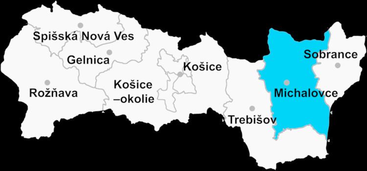
Drahňov is a village and municipality in Michalovce District in the Kosice Region of eastern Slovakia.
Contents
- Map of 076 74 DrahC588ov Slovakia
- History
- Geography
- Ethnicity
- Government
- Culture
- Sports
- Transport
- References
Map of 076 74 Drah%C5%88ov, Slovakia
History
In historical records the village was first mentioned in 1315.
Geography
The village lies at an altitude of 110 metres and covers an area of 17.552 km². It has a population of about 1200 people.
Ethnicity
In 2001 60% of the population was Hungarian and 40% Slovak.
Government
The village relies on the tax and district offices, fire brigade and police force at Veľké Kapušany.
Culture
The village has a small public library, a post office, and a food store.
Sports
The village has a football pitch.
Transport
The village has a railway station.
References
Drahňov Wikipedia(Text) CC BY-SA