
Population 2,364 (2011) Civil parish Doxey Local time Saturday 5:30 AM | OS grid reference SJ9004923850 Sovereign state United Kingdom Dialling code 01785 | |
 | ||
Weather 9°C, Wind S at 8 km/h, 89% Humidity | ||
Doxey is a village and civil parish in the borough of Stafford in Staffordshire, England. It is a north-western suburb of Stafford. The village became a civil parish on April 1, 2005.
Contents
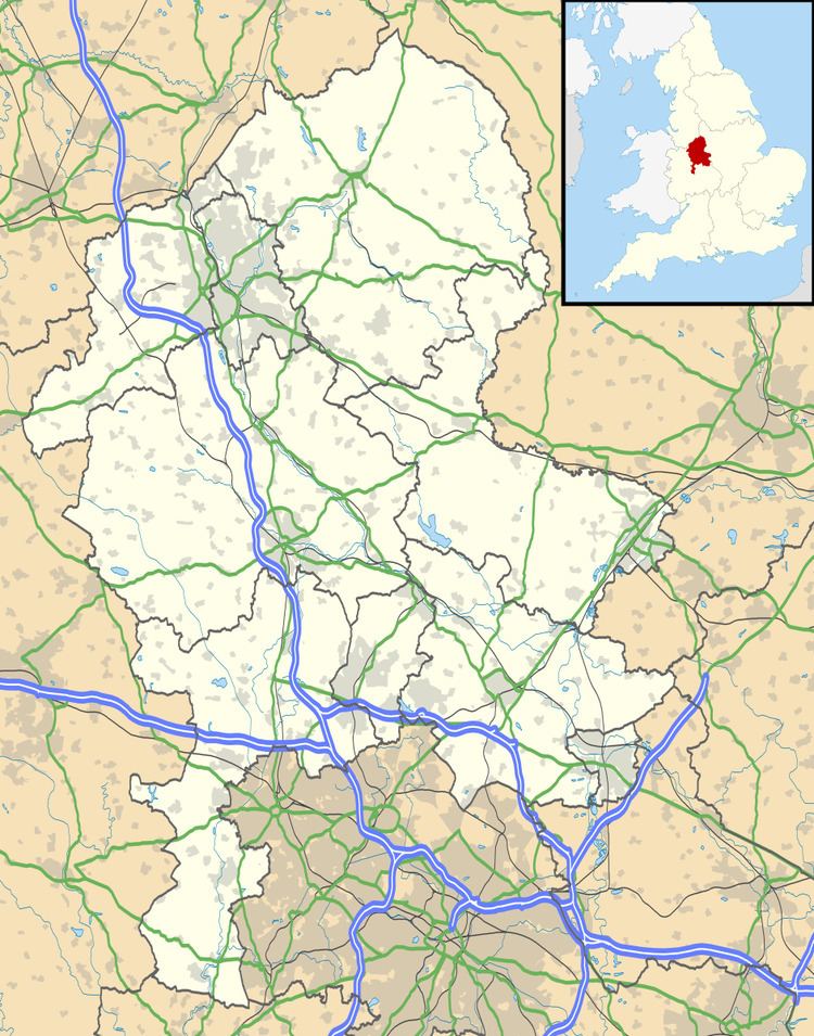
Map of Doxey, UK
There is some uncertainty about the origin of the name Doxey but it seems that it was originally Dokesei (This may be "Ducks Island" - a reference to the fact that the centre of Doxey would have been surrounded by marsh). In the Domesday Book it is spelt Dochesig.
Transport links
Doxey is served by the Number 6 Arriva bus service between Doxey and Stafford Town Centre. It runs about every 30 minutes.
Current timetables (click to view)
Stafford Station (1.5miles 2.2 km) is on the West Coast Main Line and provides frequent services to London Euston, Birmingham New Street, Manchester Piccadilly, Penkridge Station, Liverpool Lime Street etc.
The road through Doxey generally follows the old road out to Seighford and Derrington. Doxey is the site of a motorway maintenance area for the M6 and is used as an access point for the emergency services.
Doxey is approx 1 ½ hours(road traffic permitting) from Birmingham, Manchester, East Midlands and Liverpool airports.
Schools
Churches
Geography
The new parish is bound by the West Coast Main Line, River Sow and Doxey Marshes to the north, the M6 motorway to the west and to the south an area of low-lying agricultural land leading to Stafford Castle and the Way for the Millennium (Staffordshire) footpath (previously the Stafford-Newport-Shrewsbury railway line, now established as the 'Greenway').
Tourist attractions & leisure
Doxey has easy access to a number of walking and cycling routes, of particular interest is the Way for the Millennium (Staffordshire) footpath. This is an easy walk for all, treating you to some great countryside views and regular stops at other local villages and towns. There is plenty to explore off the path as well and as it runs all the way to Burton upon Trent, should keep even the hardiest of walkers entertained for some time.
Additional walks
For anyone interested in local wildlife, there is a 300-acre (1.2 km2) wet grassland site, located in the heart of the County town of Stafford known as Doxey Marshes which connects to additional walking / cycle paths.