
Established 1976 Postal code 3070 Local time Saturday 7:53 AM | Time zone BST (UTC+6) Area 324.2 km² | |
 | ||
Weather 22°C, Wind E at 10 km/h, 93% Humidity | ||
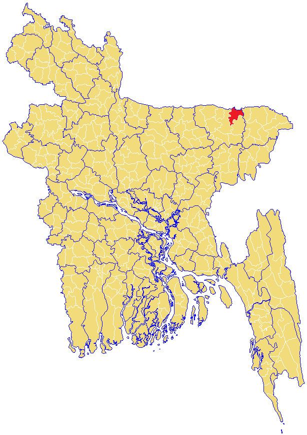
Dowarabazar (Bengali: দোয়ারাবাজার) is an Upazila of Sunamganj District in the Division of Sylhet, Bangladesh.
Contents
Map of Dowarabazar, Bangladesh
Geography
Dowarabazar is located at 25.0500°N 91.5667°E / 25.0500; 91.5667 . It has 27112 households and total area 324.19 km² and bounded by Meghalaya State of India and boarder on the north, and Chattak upazila on the south and east, sunamgonj district on the west. Main rivers are Surma, Jadukata etc.
Demographics
As of the 2011 Bangladesh census, Dowarabazar has a population of 157240. Males constitute 50.74% of the population, and females 49.26%. This Upazila's eighteen up population is 76530.
Administration
Dowarabazar has 7 Unions/Wards, 166 Mauzas/Mahallas, and 294 villages. Duarabazar Model Govt: Primary School Duarabazar High School and Duarabazar Degree College is situated in Dowarabazar town.