
Country United States County Olmsted FIPS code 27-16264 Elevation 352 m Zip code 55929 Local time Friday 7:25 PM | Time zone Central (CST) (UTC-6) GNIS feature ID 0642910 Area 2.59 km² Population 752 (2013) Area code 507 | |
 | ||
Weather -9°C, Wind NW at 16 km/h, 35% Humidity | ||
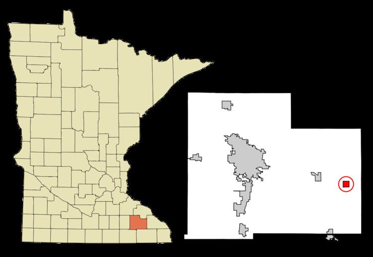
Dover is a city in Olmsted County, Minnesota, United States. The population was 735 at the 2010 census.
Contents
Map of Dover, MN 55929, USA
History
An early name of Dover was Dover Center, so named from its location near the geographical center of Dover Township. Dover was platted in 1869.
Geography
According to the United States Census Bureau, the city has a total area of 1.00 square mile (2.59 km2), all of it land.
The south branch of the Whitewater River passes through the northern edge of the city.
U.S. Route 14 is the main route serving the community. Interstate 90 is immediately south of the city.
2010 census
As of the census of 2010, there were 735 people, 261 households, and 200 families residing in the city. The population density was 735.0 inhabitants per square mile (283.8/km2). There were 282 housing units at an average density of 282.0 per square mile (108.9/km2). The racial makeup of the city was 95.6% White, 0.4% Asian, 3.0% from other races, and 1.0% from two or more races. Hispanic or Latino of any race were 4.2% of the population.
There were 261 households of which 49.8% had children under the age of 18 living with them, 63.6% were married couples living together, 8.0% had a female householder with no husband present, 5.0% had a male householder with no wife present, and 23.4% were non-families. 20.7% of all households were made up of individuals and 3.8% had someone living alone who was 65 years of age or older. The average household size was 2.82 and the average family size was 3.23.
The median age in the city was 29.7 years. 34% of residents were under the age of 18; 5.3% were between the ages of 18 and 24; 37.1% were from 25 to 44; 19% were from 45 to 64; and 4.6% were 65 years of age or older. The gender makeup of the city was 48.8% male and 51.2% female.
2000 census
As of the census of 2000, there were 438 people, 171 households, and 117 families residing in the city. The population density was 410.4 people per square mile (158.0/km²). There were 174 housing units at an average density of 163.1 per square mile (62.8/km²). The racial makeup of the city was 97.72% White, 1.60% from other races, and 0.68% from two or more races. Hispanic or Latino of any race were 2.51% of the population.
There were 171 households out of which 42.1% had children under the age of 18 living with them, 51.5% were married couples living together, 11.1% had a female householder with no husband present, and 31.0% were non-families. 25.1% of all households were made up of individuals and 8.8% had someone living alone who was 65 years of age or older. The average household size was 2.56 and the average family size was 3.00.
In the city, the population was spread out with 31.1% under the age of 18, 7.1% from 18 to 24, 33.6% from 25 to 44, 18.7% from 45 to 64, and 9.6% who were 65 years of age or older. The median age was 33 years. For every 100 females there were 101.8 males. For every 100 females age 18 and over, there were 97.4 males.
The median income for a household in the city was $41,250, and the median income for a family was $47,188. Males had a median income of $29,792 versus $22,857 for females. The per capita income for the city was $15,804. None of the families and 3.0% of the population were living below the poverty line, including no under eighteens and 4.7% of those over 64.
School District
Dover is part of the Dover-Eyota School District.