Time zone CET (UTC+1) Local time Saturday 1:51 AM | Canton Douvrin Area 9.58 km² Population 5,431 (1999) | |
 | ||
Intercommunality communauté d'agglomération de l'Artois Weather 6°C, Wind SE at 6 km/h, 85% Humidity | ||
Douvrin is a commune in the Pas-de-Calais department in the Hauts-de-France region of France.
Contents
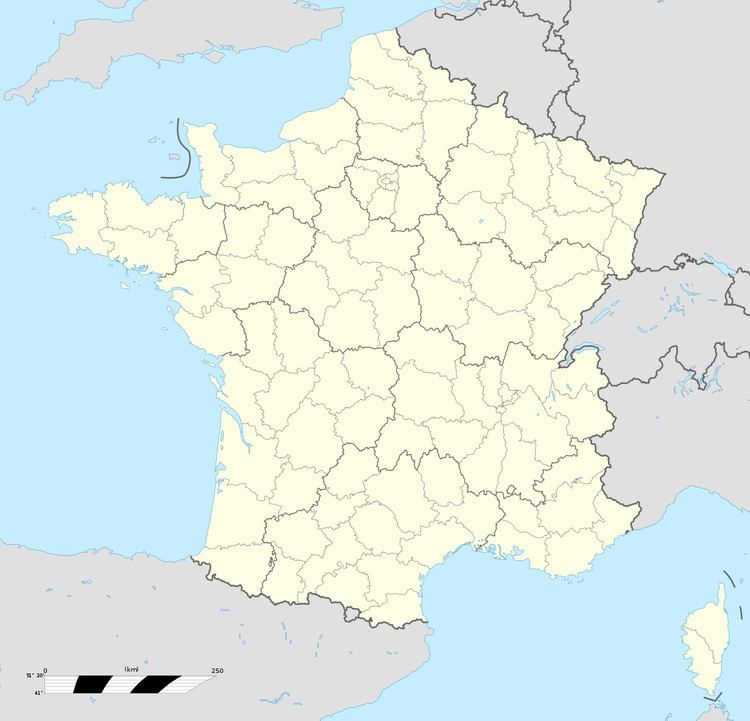
Map of 62138 Douvrin, France
Geography
An ex-coalmining town some 10 miles (16.1 km) east of Béthune and 15 miles (24.1 km) southwest of Lille, at the junction of the D165, the D163 and the N47 roads. Since the mid-1960s, farming and light industry have replaced coal mining as the principle occupations.
History
First recorded in the eleventh century, the town has been known by several variations of the name: Doverin (in 1098), Dovring (in 1120), Dovrin (in 1149), Dovrign (in 1218), Douvringnum (in 1229), Douvrin (in the fifteenth century) and also as Douvrain (in 1652).
The town suffered considerable damage during World War I.
Coal mining was the main livelihood here for around 100 years, from the mid-nineteenth century until the 1960s when the reserves became uneconomic. Since 1969, Française de Mécanique, part of PSA Peugeot Citroen has produced motor-car engines at the plant immediately north of the commune. Over 3,400 people work here, producing 7000 units a week.
