
Geocode SY0302 | Subdistricts 7 nawāḥī Area 19,876 km² | |
 | ||
Douma District (Arabic: منطقة دوما, manṭiqat Dūmā) is a district of the Rif Dimashq Governorate in southern Syria.
Contents
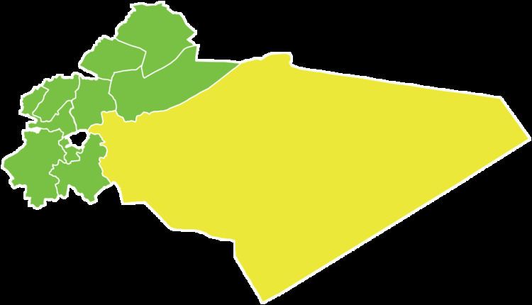
Map of Duma District, Syria
The second largest district of Syria following Tadmur, it stretches from the northeastern outskirts of Metropolitan Damascus to the Jordanian border, covering large swaths of the sparsely inhabited Syrian Desert. Administrative centre is the city of Douma, located just some 10 km (6 mi) to the northeast of Damascus.
At the 2004 census, the district had a population of 433,719.
Sub-districts
The district of Douma is divided into seven sub-districts or nawāḥī (population as of 2005):
References
Douma District Wikipedia(Text) CC BY-SA