
Length 12.5 mi (20.1 km) Grade Level Season Year-round | Trail difficulty Easy | |
 | ||
Similar Chateau Theatre, Plummer House, Cannon Valley Trail, Mayo Clinic Buildings, Gateway State Trail | ||
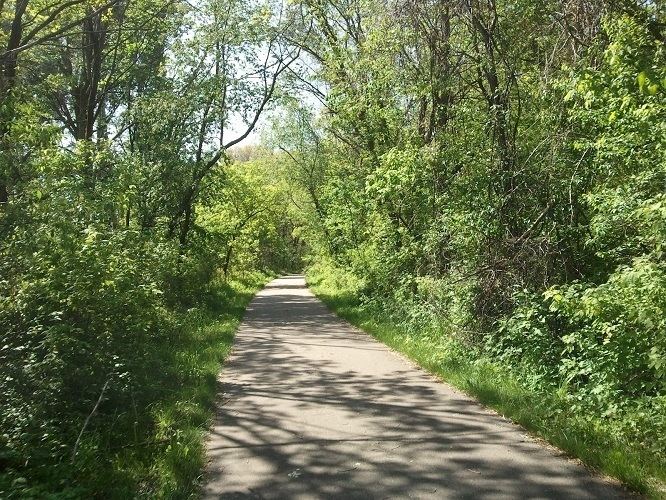
The Douglas State Trail is a 12.5-mile (20.1 km) multiple-use rail trail in Minnesota, USA.
Map of Douglas State Trail, Minnesota, USA
It occupies the abandoned Chicago Great Western Railway corridor between Rochester and Pine Island, passing through Douglas along the way. The trail has a paved track for cyclists, hikers, in-line skaters and skiers, as well as a natural surface track for horseback riders and snowmobilers.
The Cannon Valley Trail between Cannon Falls and Red Wing makes use of another segment of the same abandoned CGW right-of-way.
References
Douglas State Trail Wikipedia(Text) CC BY-SA