
Elevation 55 m (180 ft) Area 153.1 km² Local time Friday 12:25 PM | Founded April 7, 1964 Time zone UTC-3 (UTC-3) Population 6,288 (2008) | |
 | ||
Weather 26°C, Wind N at 11 km/h, 61% Humidity | ||
Viajando todo o brasil dores do rio preto es 2012 especial
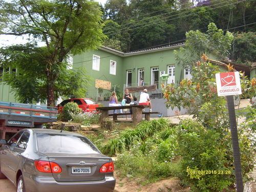
Dores do Rio Preto is the westernmost municipality in the Brazilian state of Espírito Santo. Its population was 6,288 (2008) and its area is 153.106 km². The village Pedras Meninas in Dores is the location for the entrance to Caparaó National Park and the Pico da Bandeira from Espirito Santo.
Contents
- Viajando todo o brasil dores do rio preto es 2012 especial
- Map of Dores do Rio Preto State of EspC3ADrito Santo Brazil
- Mrtv carnaval das montanhas dores do rio preto 2016
- References
Map of Dores do Rio Preto - State of Esp%C3%ADrito Santo, Brazil
Mrtv carnaval das montanhas dores do rio preto 2016
References
Dores do Rio Preto Wikipedia(Text) CC BY-SA