
Elevation 956 m (3,136 ft) Area 1,437 km² Local time Friday 12:24 PM | Incorporated December 17, 1938 Time zone UTC-3 (UTC-3) Population 9,158 (2006) | |
 | ||
Weather 27°C, Wind N at 8 km/h, 60% Humidity | ||
Dores de Campos is a Brazilian municipality. It's about 40 kilometers from São João del Rey at BR-265. About 30% of active people work in its principal factory: Marluvas.
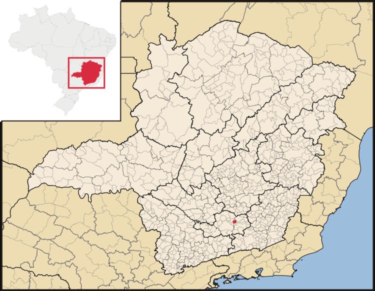
Map of Dores de Campos, State of Minas Gerais, Brazil
As its neighbors cities, Dores de Campos is a point of Real Way (translated of Estrada Real).
It was founded in about 1720 and became a city on December 17, 1938.
References
Dores de Campos Wikipedia(Text) CC BY-SA