
Quadrant NW Sector West Elevation 684 m | Ward 5 Area 69 ha Population 1,308 (2012) | |
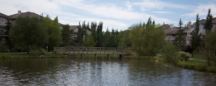 | ||
Donsdale is a residential neighbourhood in west Edmonton, Alberta, Canada.
Contents
Map of Donsdale, Edmonton, AB, Canada
Donsdale is a newer neighbourhood (Except several older homes built along North Saskatchewan River). According to the 2001 federal census, all residential construction in the neighbourhood occurred after 1995.
According to the 2005 municipal census, all of the residences in the neighbourhood are single-family dwellings. Substantially all (99%) of the residences are owner-occupied with only 1% being rented.
The neighbourhood is bounded on the north west by Lessard Road, on the south west by 184 Street. The north east boundary is located half a block south west of 53 Avenue. To the east the neighbourhood overlooks the North Saskatchewan River valley and to the south it overlooks a ravine.
Demographics
In the City of Edmonton's 2012 municipal census, Donsdale had a population of 7003130800000000000♠1,308 living in 7002551000000000000♠551 dwellings, a 1.3% change from its 2009 population of 7003129100000000000♠1,291. With a land area of 0.69 km2 (0.27 sq mi), it had a population density of 7003189570000000000♠1,895.7 people/km2 in 2012.