
Country United States GNIS feature ID 1401340 Local time Friday 1:30 AM | Time zone Alaska (AKST) (UTC-9) Elevation 544 m | |
 | ||
Weather -18°C, Wind NE at 10 km/h, 32% Humidity | ||
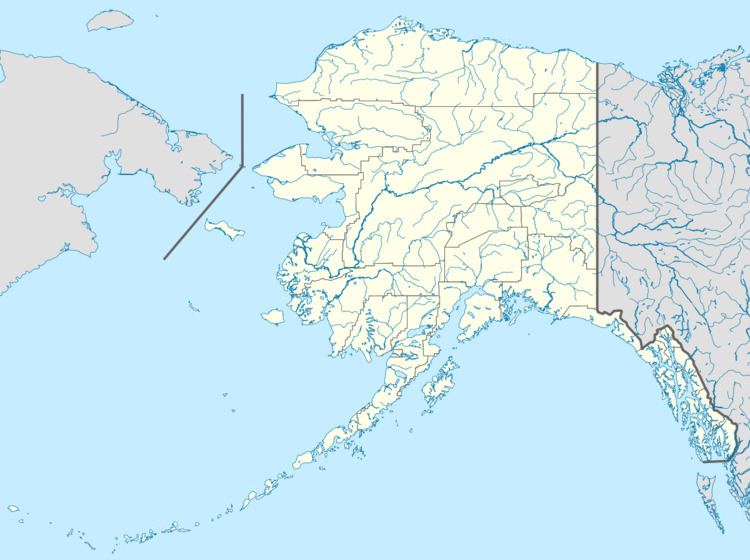
Donnelly is an unincorporated community in Southeast Fairbanks Census Area, Alaska, United States. Its elevation is 1,785 feet (544 m). Located along the Richardson Highway 26 miles (42 km) south of Delta Junction, it was founded around 1904 as a telegraph station between Chitina and Fairbanks. Donnelly's buildings during its early years were log constructed.
Map of Donnelly, AK 99737, USA
References
Donnelly, Alaska Wikipedia(Text) CC BY-SA