
Range Himalayas | Elevation 5,486 m | |
 | ||
Similar Sasser Pass, Marsimik La, Namika La, Shipki La, Kumbharli Ghat | ||
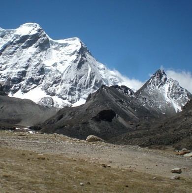
The Dongkha la or Donkia Pass (el. 18,000 ft or 5,500 m) is a high mountain pass in the Himalaya connecting Sikkim in India with Tibet.
Map of Dongkha La, Sikkim 737120
Located in North Sikkim, the pass offers a view of the Tibetan Plateau. The nearby Tso Lhamo Lake 6.5 km (4.0 mi) is long and 2.5 km (1.6 mi) wide. and is the source of the Teesta River. Gurudongmar Lake, some 5 kilometres (3.1 mi) to west-northwest, also feeds the Teesta.
The first observer to record the pass in western literature was botanist Joseph Dalton Hooker, who crossed the pass on 7 September 1849.
References
Dongkha La Wikipedia(Text) CC BY-SA