
Country Indonesia Time zone WIB (UTC+7) Province Central Sulawesi | Capital Banawa Area 13,594 km² | |
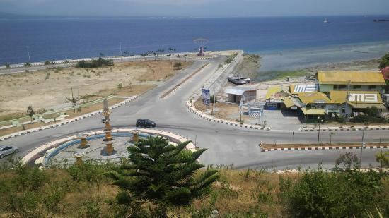 | ||
Donggala is a regency in Central Sulawesi Province of Indonesia.
Contents
- Map of Donggala Regency Central Sulawesi Indonesia
- Administration
- 2010
- 2013
- Tourist attractions
- References
Map of Donggala Regency, Central Sulawesi, Indonesia
The capital of Donggala is Banawa, located a 30-minute drive (34 km) north from Palu the capital of the province. Habir Ponulele is the governor of the regency. The regency has a land area of 10,472 km² and had a population of 277,236 at the 2010 Census. the regency lies between 0° 30" north and 2°20" south latitude, and between 119° 45°" and 121° 45" east longitude.
Administration
Before the Dutch assumed administration in 1904 under Governor-General J. B. van Heutsz, the area was the home of eight small kingdoms (kerajaan): Palu, Sigi Dolo, Kulawi, Biromaru, Banawa, Tawaili, Parigi, and Moutong.
In 2010, Donggala Regency was divided into sixteen districts (kecamatan); as of 2013 it was divided into twenty-one districts. The district has 287 villages/wards.
2010
Districts as of 2010 with the 2010 Census population of the then districts in parenthesis.
2013
Districts as of 2013: