
 | ||
Somewhere in donegal bay
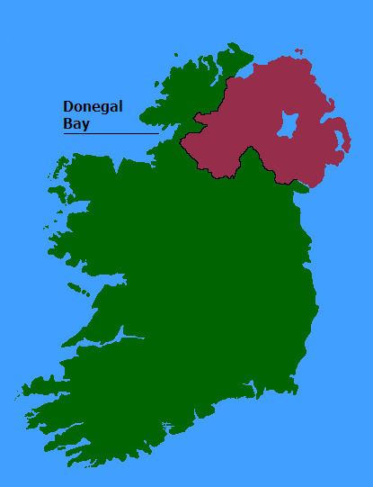
Donegal Bay (Bá Dhún na nGall in Irish) is an inlet (or bay) in the northwest of Ireland. Three counties – Donegal to the north and west, Leitrim and Sligo to the south – have shorelines on the bay, which is bounded on the west by the Atlantic Ocean. The town of Donegal and the River Eske lie at the head of the bay.
Contents
- Somewhere in donegal bay
- Map of Donegal Bay Ireland
- The beautiful erne estuary ben bulben and donegal bay
- Towns on the BayEdit
- Rivers that empty into the bayEdit
- Islands in the bayEdit
- Geographical coordinatesEdit
- Other projectsEdit
- References
Map of Donegal Bay, Ireland
Donegal Bay was also home to the assassination of Earl Mountbatten of Burma, whose unguarded boat was attacked with an explosive by terrorists of the Irish Republican Army in 1979.
Donegal Bay is Ireland's largest bay, and also contains Ulster's highest (and Europe's sixth-highest) sea cliffs at Slieve League, which tower 1972 ft (601 m) above sea level.
Donegal Bay's beaches have some of Europe's finest surfing, caused by a combination by a direct west-facing location and the funnel-shape of Donegal Bay (the westerlies of the Atlantic Ocean get funnelled into a relatively small area, which increases the size of the swell). Rossnowlagh and Bundoran are recognised by the European surfing community as among Ireland's finest surf beaches with good facilities and excellent water quality.
The beautiful erne estuary ben bulben and donegal bay
Towns on the BayEdit
Rivers that empty into the bayEdit
Islands in the bayEdit
Geographical coordinatesEdit
Other projectsEdit
Media related to Donegal Bay at Wikimedia Commons