
Country Thailand Time zone ICT (UTC+7) Geocode 4617 Population 25,164 (2005) | Seat Don Chan Postal code 46000 Area 236.6 km² Province Kalasin Province | |
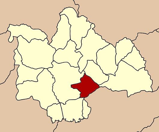 | ||
Don Chan (Thai: ดอนจาน) is a district (amphoe) of Kalasin Province, northeastern Thailand.
Contents
Map of Don Chan District, Kalasin, Thailand
Geography
Neighboring districts are (from the south clockwise) Kamalasai, Mueang Kalasin, Na Mon, and Kuchinarai of Kalasin Province, and Pho Chai of Roi Et Province.
History
The minor district (king amphoe) was created on 15 July 1996, when it was split off from Mueang Kalasin district.
Following a decision of the Thai government on 15 May 2007, all of the 81 minor districts were upgraded to full districts. With publication in the Royal Gazette on 24 August, the upgrade became official.
Administration
The district is subdivided into five subdistricts (tambon), which are further subdivided into 48 villages (muban). There are no municipal (thesaban) areas, and five tambon administrative organizations (TAO).