
Vehicle registration ΜΙ Local time Friday 1:29 AM | Time zone EET (UTC+2) Area 707.5 km² | |
 | ||
Weather 7°C, Wind NW at 10 km/h, 96% Humidity | ||
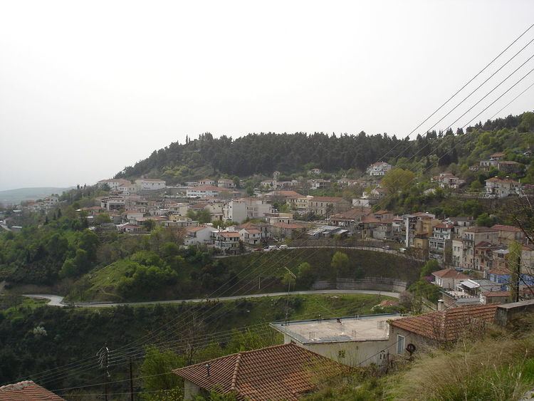
Domokos (Greek: Δομοκός), the ancient Thaumacus or Thaumacie, is a town and a municipality in Phthiotis, Greece. The town Domokos is the seat of the municipality of Domokos and of the former Domokos Province. The town is built on a mountain slope overlooking the plain of Thessaly, 38km from the city of Lamia.
Contents
Map of Domokos 350 10, Greece
History
The area of Domokos became part of Greece in 1881, when the Ottoman Empire ceded Thessaly and a few adjacent areas to Greece. Until 1899, it was part of the Larissa Prefecture.
Battle of Domokos
In 1897, during the Greco-Turkish War, about 2,000 Italian volunteers under the command of Giuseppe Garibaldi's son, Ricciotti Garibaldi, helped the Greeks in the battle of Domokos. Among them there was also one of the members of Italian Parliament, Antonio Fratti, who died in fightening. The Turkish Army was victorious over Greek Army.
Municipality
The municipality Domokos was formed at the 2011 local government reform by the merger of the following 3 former municipalities, that became municipal units:
The municipality has an area of 707.953 km2, the municipal unit 346.129 km2.
Province
The province of Domokos (Greek: Επαρχία Δομοκού) was one of the provinces of Phthiotis. It had the same territory as the present municipality. It was abolished in 2006.