
Time zone PST (UTC+5) | Province Punjab | |
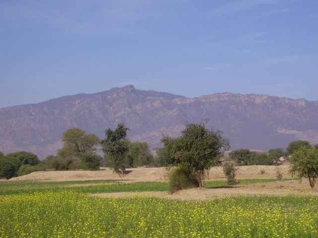 | ||
Domeli is a village and union council of Jhelum District in the Punjab province of Pakistan. It is part of Sohawa Tehsil.
A small dam named Domeli Dam captures attraction of the village. Basic occupation of inhabitants is cultivation. Many people of village are recorded to have jobs in Pakistan army. Main transport means for inhabitants of Domeli are buses, while nearest Airport is 90.4 km away.
Contents
Map of Domeli, Pakistan
History
Domeli village was established in 1707 by Ghakhars. Adjacent place Tilla Jogian is noticed to be mentioned in the love story of Heer Ranjha of Waris Shah. According to love story, at this place the leading character(Ranjha) came here for consolation; sublimated his love and passion in the spiritual world; got his ears pierced here as was the tradition of Guru Gorakhnath followers.
Location
Geographical coordinates of the village in decimal degrees (WGS84) are 33.017 in latitude and 73.350 in longitude. Famous adjacent places to Domeli include Tilla Jogian, Rohtas Fort, Mangla Dam, Tomb of shab ud din Gaurai and Khewra mine.
Population
Domeli is densely populated with estimated population of 8000-10000. Although, the Domeli Union Counsil has an estimated population of about 15000 to 16000. Domeli is tha largest town in whole valley.
Language
Native language of the village is Pothohari and Punjabi languages. A majority of the people also use Urdu.