
Topo map USGS Dome Peak Prominence 927 m | Elevation 2,720 m | |
 | ||
First ascent August 1, 1936 by George Freed and Eric Larson Similar Bonanza Peak, Mount Fernow, Goode Mountain, Buckner Mountain, Mount Spickard | ||
Dome Peak is a high, massive, glaciated mountain in the Glacier Peak Wilderness of Washington's North Cascades. The remote location of Dome Peak, combined with its height, make it a less common destination for Cascade Range mountaineers. Dome Peak is at the southern end of the Ptarmigan Traverse mountaineering route. It is located at the extreme southeast corner of Skagit County. The mountain was given its name by Albert H. Sylvester, the first forest supervisor of Wenatchee National Forest.
Map of Dome Peak, Washington 98267, USA
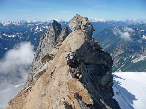
There are two main summits connected by a narrow ridge with the northeastern summit being higher than the southwestern. Chickamin Glacier is north of the peak while Dome Glacier is to the west. A rock face drops off to the southeast. Dana Glacier is on the north side of a ridge that connects Dome Peak and Spire Point.
The higher northeast peak was first climbed by George Freed and Eric Larson on August 1, 1936. The southwest peak was first climbed on July 5, 1936 by Forest Farr, Norval Grigg, and Don Blair.