
Founded by Shahzaade Vehicle registration UP-55 Elevation 88 m | Time zone IST (UTC+5:30) Area 5 km² Local time Friday 12:56 AM | |
 | ||
Weather 19°C, Wind NE at 3 km/h, 57% Humidity | ||
Domariaganj is a town and tehsil of Siddharthnagar district in eastern Uttar Pradesh.
Contents
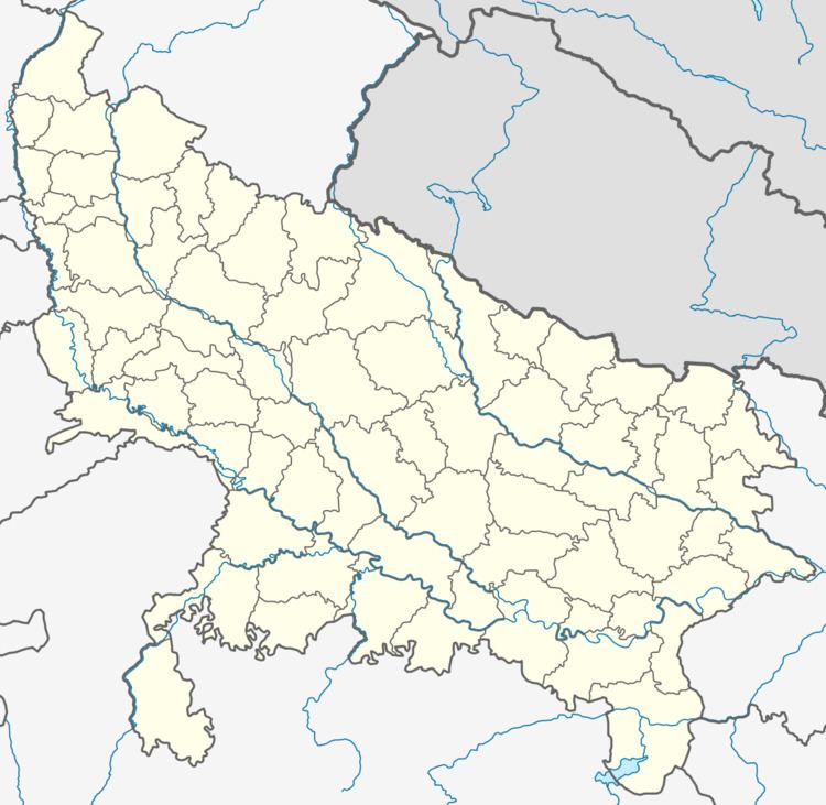
Map of Domariyaganj, Uttar Pradesh
Domariaganj is a town in the North East of Uttar Pradesh, India. It is located on the bank of the river Rapti, 30 km south of the Nepal border.
Domariaganj Lok Sabha constituency (Hindi: डुमरिया गंज लोक सभा निर्वाचन क्षेत्र) is one of the 80 Lok Sabha (parliamentary) constituencies in Uttar Pradesh state in northern India. This constituency covers the entire Siddharth Nagar district.
Domariaganj has a historical past. Accordiing to some historians, the novelist and writer Munshi Premchand briefly worked as a teacher in the old Modern school (now converted into Girls College). famous religious places Bharat Bhari, Hallaur and Wasa Dargah(Shrine of Syed Makhdoom Shah Hisamuddin) are also just few miles away from town. Lumbini (Kapilvastu) the birthplace of Gautam Buddha is 80 miles away from town.
Domariaganj also witnessed 1857 mutiny, there are grave yards of two Bombay Army officers who were killed by freedom fighters.
Geography
Domariaganj is located at 27.22°N 82.67°E / 27.22; 82.67. It has an average elevation of 88 m (289 ft).
List of Villages in Domariaganj Tehsil :