
Country United States Time zone CST (UTC-6) Elevation 203 m Population 353 (2010) | Established November 7, 1854 ZIP codes 61933, 62441, 62442 Area 92.54 km² Local time Thursday 12:39 PM | |
 | ||
Weather 17°C, Wind W at 11 km/h, 43% Humidity | ||
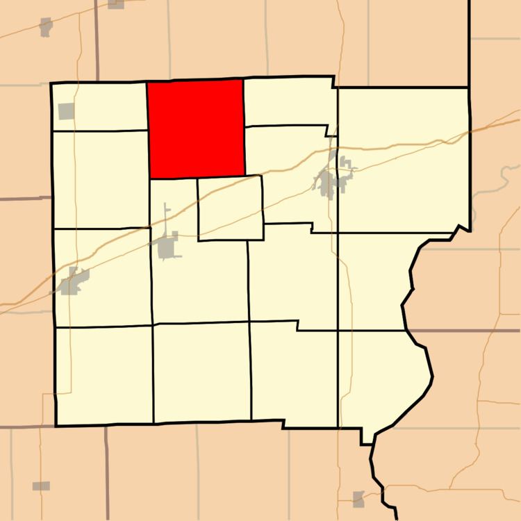
Dolson Township is one of fifteen townships in Clark County, Illinois, USA. As of the 2010 census, its population was 353 and it contained 214 housing units.
Contents
- Map of Dolson Township IL USA
- Geography
- Unincorporated towns
- Cemeteries
- School districts
- Political districts
- References
Map of Dolson Township, IL, USA
Geography
According to the 2010 census, the township has a total area of 35.73 square miles (92.5 km2), of which 34.48 square miles (89.3 km2) (or 96.50%) is land and 1.25 square miles (3.2 km2) (or 3.50%) is water.
Unincorporated towns
(This list is based on USGS data and may include former settlements.)
Cemeteries
The township contains these seven cemeteries: Bluegrass, Clarksville Baptist, Cupps, Davis, Ennis, Green Moss and Shiloh.
School districts
Political districts
References
Dolson Township, Clark County, Illinois Wikipedia(Text) CC BY-SA