
Elevation 298 m Local time Thursday 7:06 PM | Postal code 783 56 Area 8.03 km² | |
 | ||
Weather 4°C, Wind NE at 8 km/h, 87% Humidity | ||
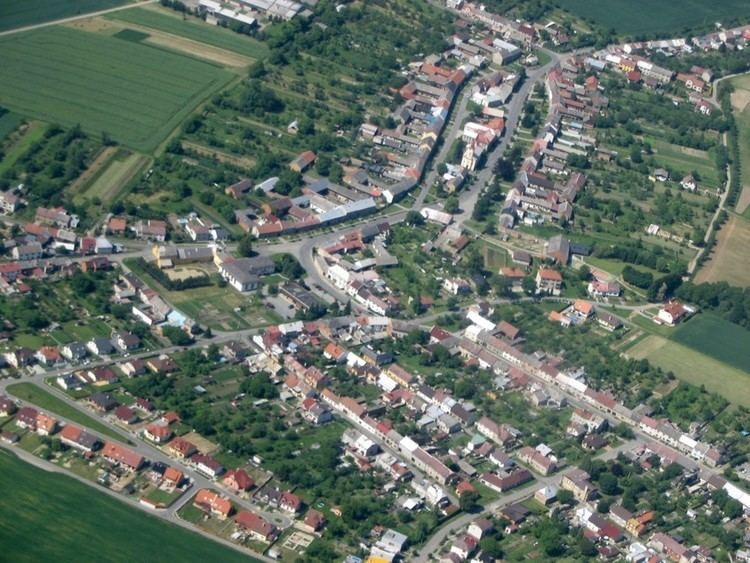
Doloplazy is a village and municipality (obec) in Olomouc District in the Olomouc Region of the Czech Republic.
Map of 783 56 Doloplazy, Czechia
The municipality covers an area of 8.03 square kilometres (3.10 sq mi), and has a population of 1,313 (as at 3 July 2006).
Doloplazy lies approximately 13 kilometres (8 mi) east of Olomouc and 223 km (139 mi) east of Prague.
References
Doloplazy (Olomouc District) Wikipedia(Text) CC BY-SA