
Elevation 505 m Local time Thursday 6:49 PM | Postal code 569 61 to 570 01 Area 19.71 km² Population 1,983 (1 Jan 2014) | |
 | ||
Weather 6°C, Wind E at 6 km/h, 86% Humidity | ||
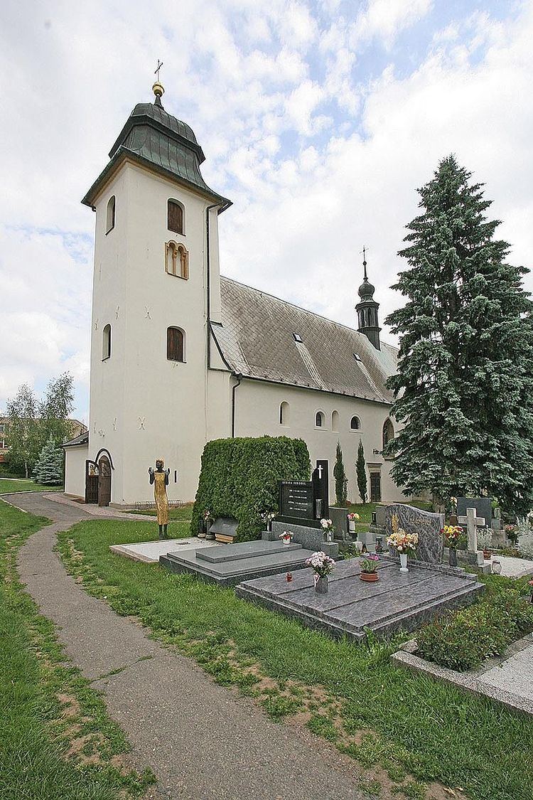
Dolní Újezd is a village and municipality (obec) in Svitavy District in the Pardubice Region of the Czech Republic.
Map of Doln%C3%AD %C3%9Ajezd, Czechia
The municipality covers an area of 19.71 square kilometres (7.61 sq mi), and has a population of 1,993 (as at 4 February 2008).
Dolní Újezd lies approximately 18 kilometres (11 mi) north-west of Svitavy, 42 km (26 mi) south-east of Pardubice, and 135 km (84 mi) east of Prague.
References
Dolní Újezd (Svitavy District) Wikipedia(Text) CC BY-SA