
Country Thailand Tambon 14 Amphoe established 1902 Area 671.3 km² | Seat Doi Saket Muban 110 Time zone ICT (UTC+7) Province Chiang Mai Province | |
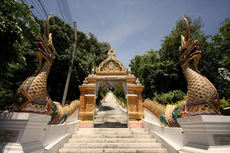 | ||
Wat phrathat doi saket chiang mai thailand
Doi Saket (Thai: ดอยสะเก็ด; Lanna: ) is a district (amphoe) in the eastern part of Chiang Mai Province in northern Thailand. The district is predominantly a rural farming area, containing a mixture of rice fields on the valley floor to orchard and other farming on the hillsides. The village proper is a 30-minute drive east of Tha Phae Gate in Chiang Mai. The city boasts a large produce market. The village is most famous with Thai tourists for its beautiful, modern-style wall murals inside Wat Doi Saket.
Contents
- Wat phrathat doi saket chiang mai thailand
- Map of Doi Saket District Chiang Mai 50220 Thailand
- History
- Geography
- Administration
- References
Map of Doi Saket District, Chiang Mai 50220, Thailand
History
The district was established in 1902.
Geography
Neighboring districts are (from the south clockwise) Mae On, San Kamphaeng, San Sai, Mae Taeng, Phrao of Chiang Mai Province, Wiang Pa Pao of Chiang Rai Province and Mueang Pan of Lampang Province.
The district is named after 1,816 m high Doi Saket (ดอยสะเก็ด), a mountain of the Khun Tan Range on the east side of the district.
Administration
The district is subdivided into 14 subdistricts (tambon), which are further subdivided into 110 villages (muban). Doi Saket is a township (thesaban tambon), which covers parts of tambon Choeng Doi and Luang Nuea. There are further 13 tambon administrative organizations (TAO).