
Easiest route hike | First ascent unknown Elevation 1,745 m | |
 | ||
Similar Phou Khe, Phu Xai Lai Leng, Doi Phu Kha, Doi Luang - Phi Pan Nam Ran, Doi Mae Tho | ||
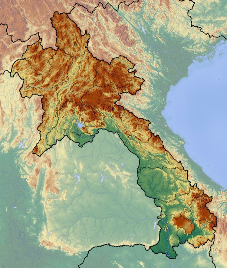
Doi Phi Pan Nam, Thai: ดอยผีปันน้ำ, is a 1,745 m high mountain in Southeast Asia, part of the Luang Prabang Range (ทิวเขาหลวงพระบาง).
Map of Doi Phi Pan Nam
It is located at the eastern end of the Thai highlands, on the international border between Laos and Thailand. The Wa River has its source beneath this mountain.
References
Doi Phi Pan Nam Wikipedia(Text) CC BY-SA