
Location Chiang Rai Province Easiest route drive, then hike Prominence 1,450 m | First ascent unknown Elevation 2,031 m | |
 | ||
Similar Khao Rom, Phou Khe, Khao Luang, Doi Chiang Dao, Doi Luang - Phi Pan Nam Ran | ||
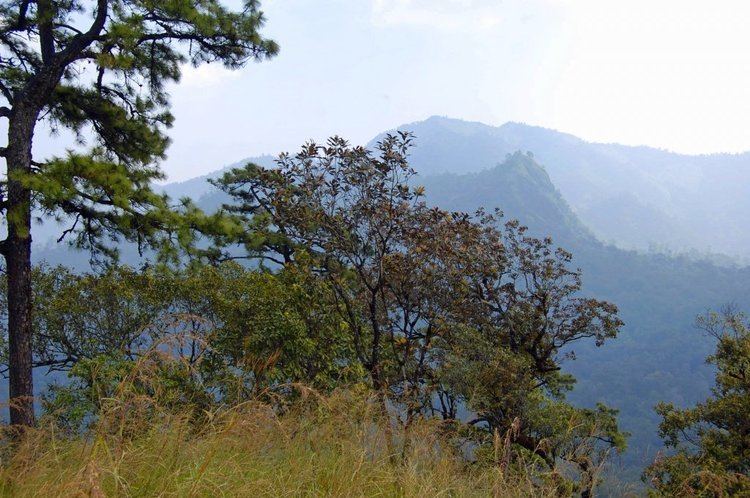
Doi Mae Tho (Thai: ดอยแม่โถ), also known as Doi Langka Luang (ดอยลังกาหลวง) or Doi Lang Ka (ดอยลังกา), is a mountain in Thailand, part of the Khun Tan Range.
Map of Doi Mae Tho, Mae Chedi Mai, Wiang Pa Pao District, Chiang Rai 57260, Thailand
The mountain rises in the SW of Wiang Pa Pao District, Chiang Rai Province, near the point where the limit of this province meets with Chiang Mai and Lampang Provinces. With a height of 2,031 metres it is the highest point of the Khun Tan Range.
Its summit is located less than 8 km to the SE of Route 118 between Chiang Mai and Chiang Rai.
References
Doi Mae Tho Wikipedia(Text) CC BY-SA