
Country Thailand Time zone ICT (UTC+7) Geocode 7202 Population 73,741 (2013) | Seat Khao Phra Postal code 72120 Area 552.3 km² Province Suphan Buri Province | |
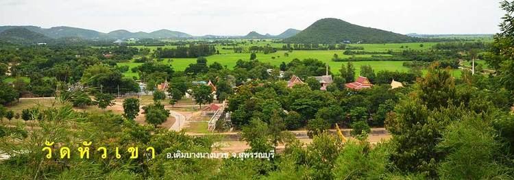 | ||
Doem Bang Nang Buat (Thai: เดิมบางนางบวช; [dɤ̄ːm bāːŋ nāːŋ bùat]) is a district (amphoe) in the northern part of Suphan Buri Province, central Thailand.
Contents
- Map of Doem Bang Nang Buat District Suphan Buri Thailand
- History
- Geography
- Central administration
- Local administration
- References
Map of Doem Bang Nang Buat District, Suphan Buri, Thailand
History
In the past, Nang Buat district covered a large area. Prince Damrong Rajanubhab and the governor of Suphan Buri agreed to separate the northernmost part and then created a new district named Doem Bang on 16 May 1911. Two tambons of Hankha District, Chai Nat Province and two tambons of Bang Rachan District, Sing Buri Province were added. In 1939 the government changed the district name of Nang Buat District to Sam Chuk, they decided to put the word Nang Buat after Doem Bang, so since that year the district is named Doem Bang Nang Buat. The present district office is on Chainat-Suphanburi Road, Tambon Khao Phra.
Geography
Neighboring districts are (from the north clockwise) Noen Kham, Hankha and Sankhaburi of Chai Nat Province, Bang Rachan and Khai Bang Rachan of Sing Buri Province, Sawaeng Ha of Ang Thong Province, and Sam Chuk, Nong Ya Sai and Dan Chang of Suphan Buri Province. The main water resource of Doem Bang Nang Buat is the Tha Chin River or Suphan River.
Central administration
The district is divided into 14 subdistrict (tambon), which are further subdivided into 121 administrative villages (muban).
Local administration
There are eight sub-district municipalities (Thesaban Tambon) in the district:
There are eight sub-district administrative organizations (SAO) in the district: