
 | ||
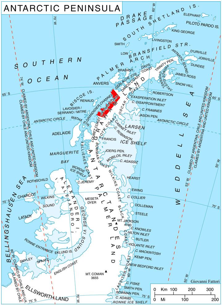
Dodunekov Peak (Bulgarian: Додунеков връх, ‘Dodunekov Vrah’ do-'du-ne-kov 'vr&h) is the ice-covered peak rising to 1100 m in the west foothills of Bruce Plateau on Graham Coast in Graham Land, Antarctica. It has steep and partly ice-free southwest slopes, and surmounts Caulfield Glacier to the north and Rickmers Glacier to the south.
Contents
The peak is named after Stefan Dodunekov (1945-2012), for his support for the Bulgarian Antarctic topographic surveys and mapping.
Location
Dodunekov Peak is located at 66°11′23″S 64°53′52″W, which is 21.65 km east-southeast of Lens Peak, 12.77 km southeast of Coblentz Peak and 21 km north of Richardson Nunatak. British mapping in 1976.
Maps
References
Dodunekov Peak Wikipedia(Text) CC BY-SA