
Country Albania | Time zone CET (UTC+1) | |
 | ||
Albania shqip ria 06 2016 trasa shkoder omar dob r bajz hani i hotit bozhaj
Dobër (also known as Dobre) is a settlement in the former Qendër municipality, Shkodër County, northern Albania. At the 2015 local government reform it became part of the municipality Malësi e Madhe. It has a population of 693.
Contents
- Albania shqip ria 06 2016 trasa shkoder omar dob r bajz hani i hotit bozhaj
- Map of DobC3ABr Albania
- Etymology
- Economy
- History
- Population
- Appearance
- References
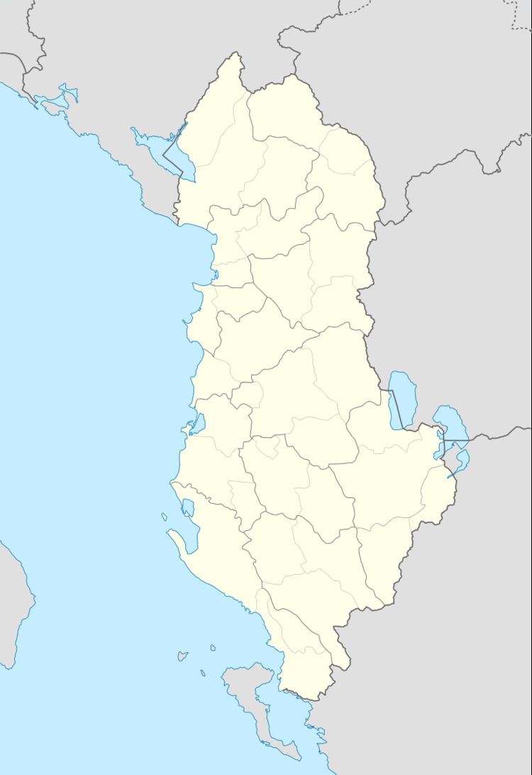
Map of Dob%C3%ABr, Albania
Etymology
Dober is thought to come from the Slavic term 'Dobre' meaning 'good' or 'OK'. the origins of how the village came to attain such a name is unknown but speculation ranges from receiving a complement from the Montenegrin neighbors to a comment on the quality of the good fertile soil to the found in the village.
Economy
The local economy relies mainly on agriculture with approximately four small shops within the village. The agricultural economy relies on small subsistence farming which is used to both generate small incomes as well as for the provision of food stuffs for the grower and the family. Labour prices per day are around 1000 lek per day per laborer. There are also two to five minivans that operate from Dober itself, however these are privately owned and operated mostly in the route from Koplik to Shkodër so use of this transport is dependent on walking a short distance to the main highway linking the village to other population centres. Local residents has also made use of fishing due to the proximity of the lake, however due to depleting fish stocks from the illegal usage of electricity in fishing methods, fishing is now economically untenable.
In recent years, Dober has been at the forefront of a general wave of farming mechanization that has included the importing and use of various farming machinery which has helped to greatly increase and maintain productivity in the face of a continuous exodus of young men who choose to immigrant either abroad or into the cities.
As a result of such immigration, -now and years ago- the local economy benefits from a stream of income from emigrates. The specifics of the emigrant contribution is unknown but makes up a sizeable part of the local economy since all large households have or had at least one family member either abroad or in the big cities earning a good comparative income and contributing the household maintenance. The village also benefits economically from the return of immigrants during the summer months with at least 15 people returning from the European Union every summer.
History
There are many indications of a long history of settlement. Old ruins are visible in a number of locations, including at the local Catholic cemetery where the ruins of an ancient church are visible. It is rumored that the church may contain hidden buried religious icons of precious metals. Locals have searched but found nothing.
More recent history can be seen, with an abundance of defensive bunkers and pillboxes scattered throughout the village on account of communist paranoia of a feared invasion from neighboring Yugoslavia. On the southern edge of the village lies a dried up artificial lake which was once used for irrigation. Close to the lake lies clay hills, one of which is an old army base littered with pill boxes, bunkers and various tunnels and large rooms that remains abandoned and now largely unexplored.
Population
The population is over 600. The village is divided between a large Catholic community and an equally sized Muslim community. Relations between the two are incredibly warm and good with both sides interacting without prejudice as far as celebrating each parties religious holidays respectfully and in many cases together. The village remains however geographically segregated in two portions with one being predominantly Catholic whilst the other Muslim. The reasons for this are unsure but due to the pleasant relations between them, it appears to be as a result of the fact that the Muslim quarter is populated by around 5 large family groupings all tracing their descent to a common ancestor of the Cokaj clan hailing from Koplik I Siper with rumoured roots in the town of Kuci, Montenegro (a testament to the various migratory patterns by Alba-phone and Slavonic peoples during times of conflict in this border region). Intermarriage within the village is almost unheard of due to possible patrilinial blood relations within the Muslim community as well as the religious divide exacerbated by the affluence of traditional arranged marriages being conducted that do not favor inter marriage within the same village.
Appearance
At first sighting, the town is well endowed with marvelous villas surrounded by small orchards filled with a variety of fruit trees and grape vins. These make up over half of the houses in the village and where mostly constructed during certain boom eras, with many still being a work in progress. The village itself is esthetically pleasing on account of the abundance of beautiful villas ranging in color from blue to green to pink and so on all facing the main road that runs through the village. Most if not all houses are surrounded by fencing, often a wall varying in size with a complement of fencing over it. The purpose is protection of property from straying animals as well as crime.
There is a church on the edge of the village. From the village one has an excellent view of the lake in the north and west as well as the mountains in the East with a clear view on a good day of Rozafa Castle in the South. All visitors will notice the good quality of the main road. It is the second time the road has been built in less than a decade. The last construction/major reparation of the main road occurred in the summer of 2009. The good quality of the construction of the road has meant that by summer 2011, it has remained in an excellent state that you can clearly see upon visitation.