
Elevation 398 m Population 554 (2006) | Postal code 569 43 Area 17.58 km² | |
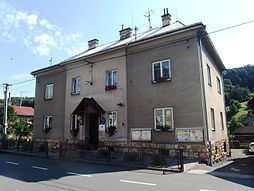 | ||
Dlouhá Loučka is a village and municipality (obec) in Svitavy District in the Pardubice Region of the Czech Republic.
Map of 569 43 Dlouh%C3%A1 Lou%C4%8Dka, Czechia
The municipality covers an area of 17.58 square kilometres (6.79 sq mi), and has a population of 554 (as at 28 August 2006).
Dlouhá Loučka lies approximately 13 kilometres (8 mi) south-east of Svitavy, 72 km (45 mi) south-east of Pardubice, and 164 km (102 mi) east of Prague.
References
Dlouhá Loučka (Svitavy District) Wikipedia(Text) CC BY-SA