
Elevation 268 m Population 1,816 (2006) | Postal code 783 86 Area 26.57 km² Local time Thursday 4:40 AM | |
 | ||
Weather 3°C, Wind SE at 11 km/h, 88% Humidity | ||
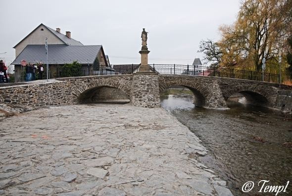
Dlouhá Loučka (German Langendorf) is a village and municipality (obec) in Olomouc District in the Olomouc Region of the Czech Republic.
Map of 783 86 Dlouh%C3%A1 Lou%C4%8Dka, Czechia
The municipality covers an area of 26.57 square kilometres (10.26 sq mi), and has a population of 1,816 (as at 3 July 2006).
Dlouhá Loučka lies approximately 26 kilometres (16 mi) north of Olomouc and 201 km (125 mi) east of Prague.
References
Dlouhá Loučka (Olomouc District) Wikipedia(Text) CC BY-SA