
Country Canada Time zone MST (UTC-7) Elevation 640 m Local time Wednesday 6:32 PM | Area 108 ha Population 104 (2011) | |
 | ||
Weather -19°C, Wind N at 11 km/h, 56% Humidity | ||
Dixonville is a hamlet in Alberta, Canada within the County of Northern Lights. It is located along the Mackenzie Highway (Highway 35), approximately 43 kilometres (27 mi) north of Grimshaw. It has an elevation of 640 metres (2,100 ft).
Contents
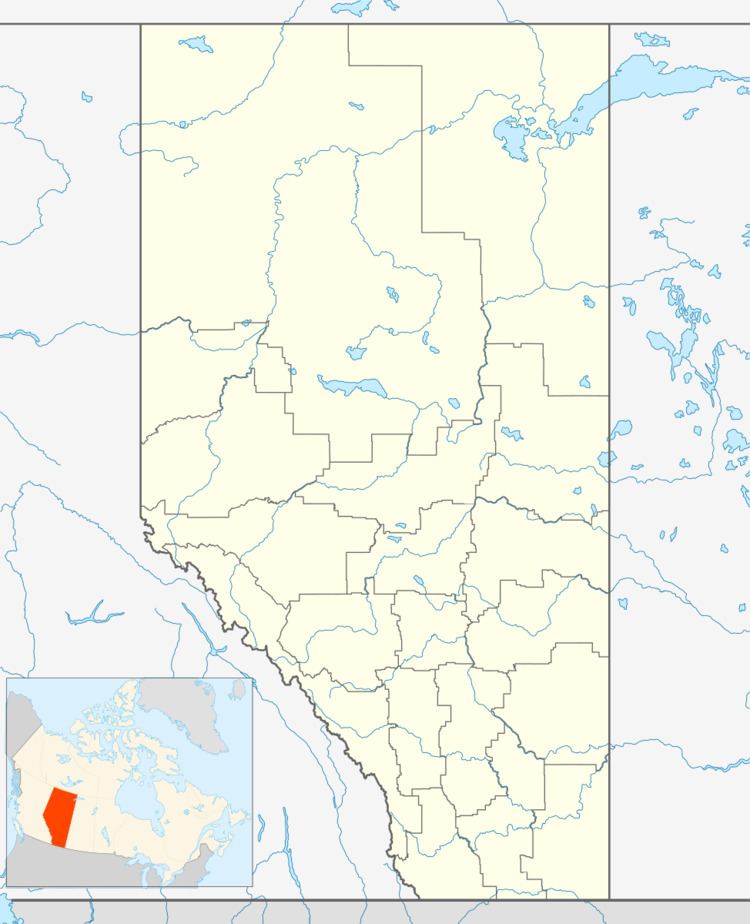
Map of Dixonville, AB, Canada
The hamlet is located in census division No. 17 and in the federal riding of Peace River.
Demographics
As a designated place in the 2016 Census of Population conducted by Statistics Canada, Dixonville recorded a population of 108 living in 37 of its 45 total private dwellings, a change of 7000380000000000000♠3.8% from its 2011 population of 104. With a land area of 0.65 km2 (0.25 sq mi), it had a population density of 166.2/km2 (430.3/sq mi) in 2016.
As a designated place in the 2011 Census, Dixonville had a population of 104 living in 39 of its 46 total dwellings, a -14% change from its 2006 population of 121. With a land area of 1.08 km2 (0.42 sq mi), it had a population density of 96.3/km2 (249.4/sq mi) in 2011.