
Population 21,290 (2011) | Area 18,922 km² | |
 | ||
Points of interest Rocky Mountains, Canadian Rockies, Crescent Falls, Rockies Heli Canada, Ram Falls Provincial Park Destinations | ||
Division No. 9 is a census division in Alberta, Canada. It is located in the southwest corner of central Alberta and its largest urban community is the Town of Rocky Mountain House. The boundaries of the division are coextensive with the outer boundaries of Clearwater County.
Contents
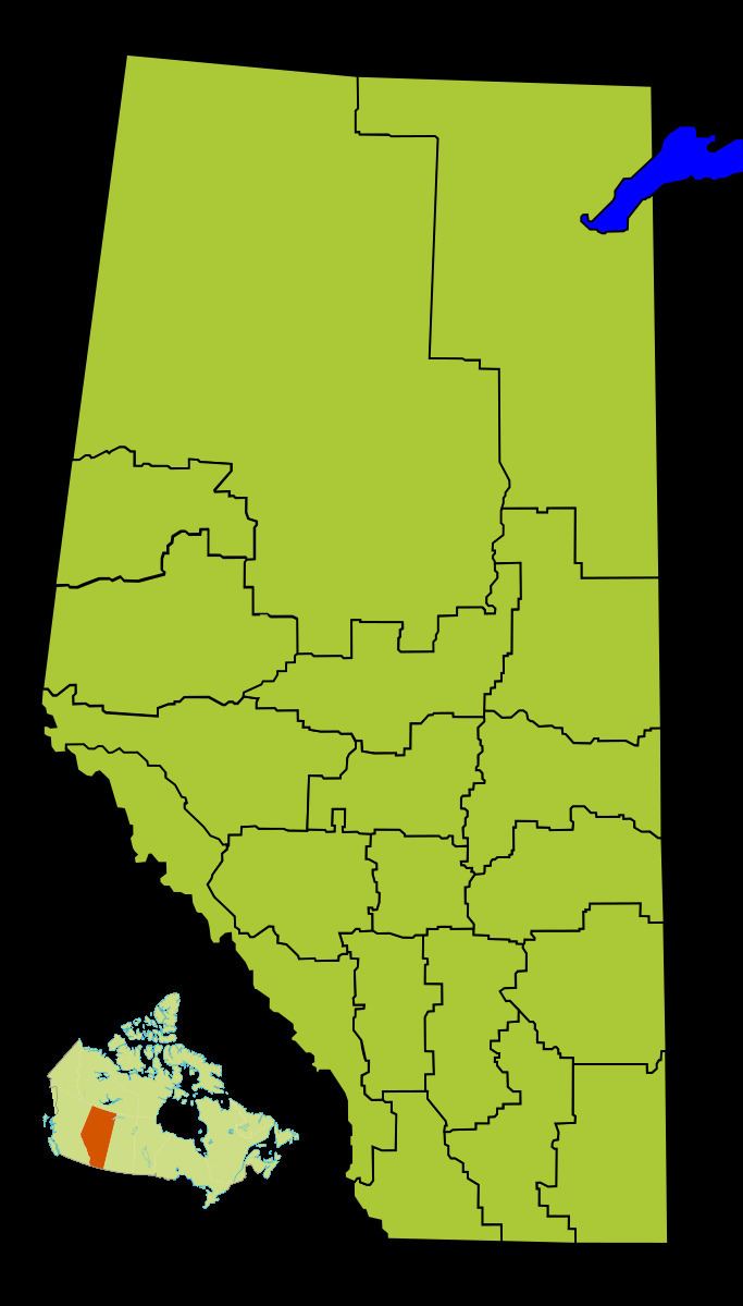
Map of Division No. 9, AB, Canada
Census subdivisions
The following census subdivisions (municipalities or municipal equivalents) are located within Alberta's Division No. 9.
Demographics
In the 2011 Census, Division No. 9 had a population of 21,290 living in 7,962 of its 8,935 total dwellings, a 4.6% change from its 2006 population of 20,351. With a land area of 18,922 km2 (7,306 sq mi), it had a population density of 1.1 people per square kilometre in 2011.
In 2006, Division No. 9 had a population of 20,351 living in 8,151 dwellings, a 4.0% increase from 2001. The census division has a land area of 18,921.38 km2 (7,305.59 sq mi) and a population density of 1.1 inhabitants per square kilometre.