Puneet Varma (Editor)

Division No. 13, Saskatchewan

Updated on
Edit
Like
Comment
Share on FacebookTweet on TwitterShare on LinkedInShare on Reddit
Province
  
Saskatchewan

Team
  
Kindersley Klippers

Division No. 13, Saskatchewan

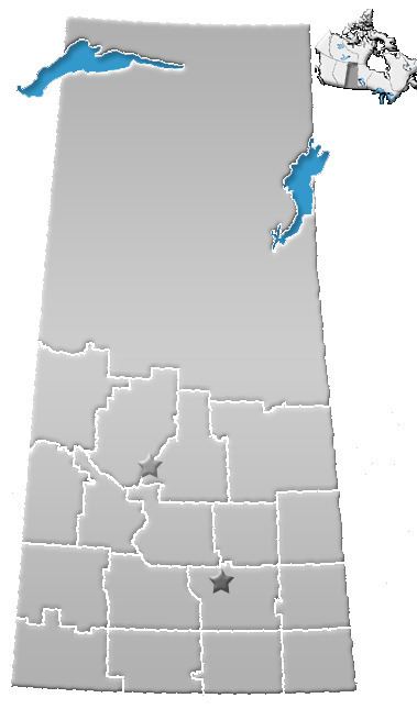
Division No. 13, Saskatchewan, Canada, is one of the eighteen census divisions within the province, as defined by Statistics Canada. It is located in the western part of the province, bordering Alberta. The most populous community in this division is Kindersley. According to the 2006 census, 22,342 people lived in this division. It has a land area of 17,255.30 kmĀ² (6,662.31 sq mi).

Contents

Map of Division No. 13, SK, Canada

Towns

  • Cut Knife
  • Kerrobert
  • Kindersley
  • Luseland
  • Macklin
  • Scott
  • Unity
  • Wilkie
  • Villages

  • Brock
  • Coleville
  • Denzil
  • Dodsland
  • Flaxcombe
  • Landis
  • Major
  • Marengo
  • Marsden
  • Neilburg
  • Netherhill
  • Plenty
  • Primate
  • Ruthilda
  • Senlac
  • Smiley
  • Tramping Lake
  • Rural municipalities

  • RM No. 290 Kindersley
  • RM No. 292 Milton
  • RM No. 319 Winslow
  • RM No. 320 Oakdale
  • RM No. 321 Prairiedale
  • RM No. 322 Antelope Park
  • RM No. 349 Grandview
  • RM No. 350 Mariposa
  • RM No. 351 Progress
  • RM No. 352 Heart's Hill
  • RM No. 379 Reford
  • RM No. 380 Tramping Lake
  • RM No. 381 Grass Lake
  • RM No. 382 Eye Hill
  • RM No. 409 Buffalo
  • RM No. 410 Round Valley
  • RM No. 411 Senlac
  • RM No. 439 Cut Knife
  • RM No. 440 Hillsdale
  • RM No. 442 Manitou Lake
  • Indian reserves

  • Indian Reserve --Little Pine 116
  • Indian Reserve --Poundmaker 114
  • References

    Division No. 13, Saskatchewan Wikipedia