
Census division 13 Postal code S0L 2Z0 Population 50 (2006) Area code 306 | Region West-central Time zone CST Area 64 ha | |
 | ||
Rural Municipality PrairiedaleWebsite - www.major.ca | ||
Smiley is a village in Prairiedale Rural Municipality No. 321, Saskatchewan, Canada. The population was 50 at the 2006 Canada Census. The village is located approximately 20 km north west of the Town of Kindersley at the intersection of Highway 307 and Highway 772. The Grand Trunk Pacific Railway was completed in 1913 bringing an economic boom to the village's early years. On April 26, 1987 the Dodsland subdivision between Dodsland and Smiley was transferred to the Canadian Pacific Railway. Due to the close proximity to major grain centers such as Kindersley, CPR put the line up for abandonment and was granted permission to remove the track by the Canadian Transportation Agency on October 29, 1997.
Contents
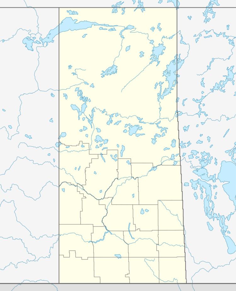
Map of Smiley, SK, Canada
An F3 tornado struck here leaving a ten kilometer path and taking two unknown lives on July 6, 1935.
Demographics
In 2006, Smiley had a population of 50 living in 36 dwellings, a 9.1% decrease from 2001. The village has a land area of 0.64 km2 (0.25 sq mi) and a population density of 77.8/km2 (202/sq mi).