
Population 63,427 (2011) University Portage College | Area 30,047 km² | |
 | ||
Points of interest Garner Lake Provincial, Iron Horse Trail - Alberta, Ufo landing pad, Sir Winston Churchill Provincial, Crow Lake Provincial Park Destinations Bonnyville, Lac la Biche, Elk Point, Smoky Lake, Sir Winston Churchill Provincial | ||
Division No. 12 is a census division in Alberta, Canada. Including the City of Cold Lake, the majority of the division is located in the northeast corner of central Alberta, while the northern portion of the division is located within northern Alberta.
Contents
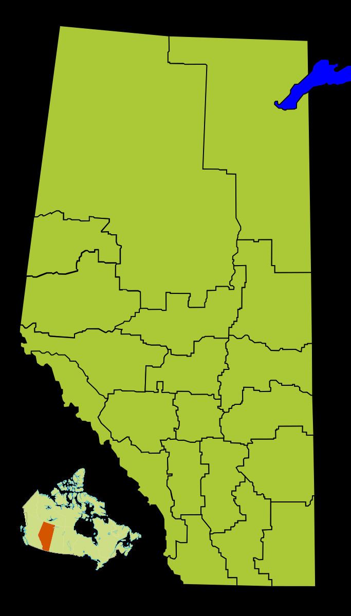
Map of Division No. 12, AB, Canada
Census subdivisions
The following census subdivisions (municipalities or municipal equivalents) are located within Alberta's Division No. 12.
Demographics
In the 2011 Census, Division No. 12 had a population of 63,427 living in 22,986 of its 26,256 total dwellings, a 5.7% change from its 2006 population of 59,990. With a land area of 30,047 km2 (11,601 sq mi), it had a population density of 2.1 people per square kilometre in 2011.
In 2006, Division No. 12 had a population of 59,990 living in 24,756 dwellings, a 2.8% increase from 2001. The census division has a land area of 30,046.71 km2 (11,601.10 sq mi) and a population density of 2.0 inhabitants per square kilometre.