
Population 9,057 (2015 est) Mayor Allan Aughey State electorate(s) Frome, Goyder Founded 1997 | Established 1997 Region Yorke and Mid North Area 1,840 km² Council seat Clare | |
 | ||
Website District Council of Clare and Gilbert Valleys Federal divisions Division of Wakefield, Division of Grey Points of interest Clare Valley, Annie's Lane, Martindale Hall, Jim Barry Wines, Mintaro Maze | ||
The District Council of Clare and Gilbert Valleys is a local government area located in the Yorke and Mid North region of South Australia. The council was founded on 1 July 1997 with the amalgamation of the District Council of Clare, the District Council of Riverton and the District Council of Saddleworth and Auburn. The council seat is located at Clare; it also maintains branch offices at Riverton and Saddleworth.
Contents
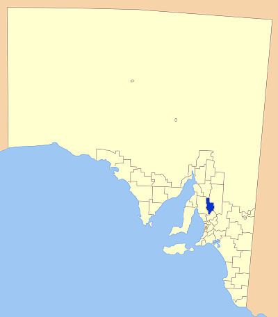
Map of Clare and Gilbert Valleys, SA, Australia
Geography
It includes the towns and localities of Anama, Armagh, Auburn, Barinia, Benbournie, Black Springs, Bungaree, Boconnoc Park, Clare, Emu Flat, Giles Corner, Gillentown, Hill River, Hilltown, Leasingham, Manoora, Marrabel, Mintaro, Penwortham, Polish Hill River, Rhynie, Riverton, Saddleworth, Sevenhill, Spring Farm, Spring Gully, Stanley, Stanley Flat, Steelton, Stockport, Tarlee, Tarnma, Tothill Belt, Tothill Creek, Undalya, Waterloo, Watervale and Woolshed Flat, and parts of Alma, Farrell Flat, Halbury, Hoyleton and Salter Springs.
Councillors
The District Council of Clare and Gilbert Valleys has a directly elected mayor.