
District Varanasi district Time zone IST (UTC+5:30) Elevation 85 m | Tehsil Varanasi tehsil Postal code 221007 Population 6,352 (2011) | |
 | ||
Dindaspur (Hindi: दिनदासपुर) is a census town village in Varanasi tehsil of Varanasi district in the Indian state of Uttar Pradesh. The census town & village falls under the Dindaspur gram panchayat. Dindaspur Census town & village is about 18 kilometers West of Varanasi railway station, 310 kilometers South-East of Lucknow and 25 kilometers North-West of Banaras Hindu University main gate.
Contents
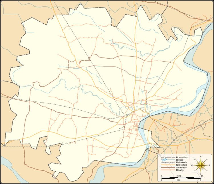
Map of Dindaspur, Uttar Pradesh 221302
Demography
Dindaspur has families with a total population of 6352. Sex ratio of the census town & village is 918 and child sex ratio is 952. Uttar Pradesh state average for both ratios is 912 and 902 respectively [note].
Transportation
Dindaspur is connected by air (Lal Bahadur Shastri Airport), by train (Varanasi railway station). Babatpur (BTP) Railway Station and by road. Nearest operational airports is Lal Bahadur Shastri Airport and nearest operational railway station is Babatpur Railway Station (11 and 12 kilometers respectively from Dindaspur).