
Country Philippines Founded June 18, 1966 Time zone PST (UTC+8) Province Aurora | District Lone District Barangays Area 316.8 km² Local time Wednesday 5:29 AM | |
 | ||
Region Central Luzon (Region III) Weather 22°C, Wind N at 5 km/h, 96% Humidity Neighborhoods Poblacion Zone 2, Dibaraybay, Poblacion Zone 1, Abuleg, Simbahan, Paleg, Ditawini, Mapalad | ||
Dinalungan, officially the Municipality of Dinalungan (Filipino: Bayan ng Dinalungan; Ilocano: Ili ti Dinalungan), is a municipality in the province of Aurora in the Central Luzon (Region III) of the Philippines. The population was 11,322 at the 2015 census. In the 2016 electoral roll, it had 8,088 registered voters.
Contents
Map of Dinalungan, Aurora, Philippines
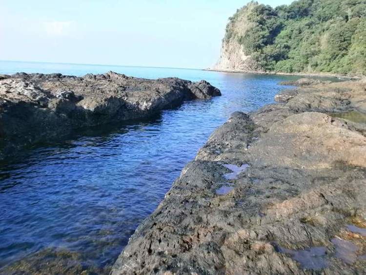
Two protected areas, the Talaytay Protected Landscape and the Simbahan-Talagas Protected Landscape, are located in the municipality.
Geography
Dinalungan is located at 16°06′N 121°46′E.
According to the Philippine Statistics Authority, the municipality has a land area of 316.85 square kilometres (122.34 sq mi) constituting 7001100700000000000♠10.07% of the 3,147.32-square-kilometre- (1,215.19 sq mi) total area of Aurora.
Barangays
Dinalungan is politically subdivided into 9 barangays.
Demographics
In the 2015 census, Dinalungan had a population of 11,322. The population density was 36 inhabitants per square kilometre (93/sq mi).
In the 2016 electoral roll, it had 8,088 registered voters.