
Website Dinajpurinfo.com Elevation 37 m | Time zone BST (UTC+6) Area 354.3 km² Population 184,159 (2012) | |
 | ||
Dinajpur Sadar (Bengali: দিনাজপুর সদর) is an Upazila of Dinajpur District in the Division of Rangpur, Bangladesh.
Contents
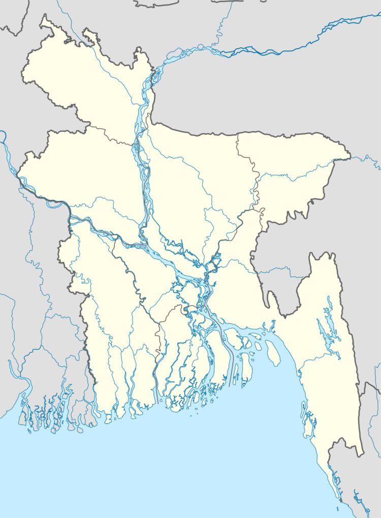
Map of Dinajpur Sadar Upazila, Bangladesh
Geography
Dinajpur Sadar is located at 25.6333°N 88.6500°E / 25.6333; 88.6500 . It has 67,061 households and total area 354.34 km².
Demographics
As of the 1991 Bangladesh census, Dinajpur Sadar has a population of 357,888. Males constitute 52.08% of the population, and females 47.92%. This Upazila's eighteen up population is 187,016. Dinajpur Sadar has an average literacy rate of 41.1% (7+ years), and the national average of 32.4% literate. Also, Nanabari is at DInajpur.
Administration
Dinajpur Sadar has 14 Unions/Wards, 299 Mauzas/Mahallas, and 205 villages. Member of Parliament:Iqbalur Rahim.
Education
According to Banglapedia, Dinajpur Government Girls' High School, founded in 1869, is a notable secondary school.