
Country Nepal District Khotang District Elevation 1,530 m Local time Tuesday 11:39 PM | Zone Sagarmatha Zone Time zone NST (UTC+5:45) Population 7,324 (1991) | |
 | ||
Weather 11°C, Wind N at 3 km/h, 48% Humidity | ||
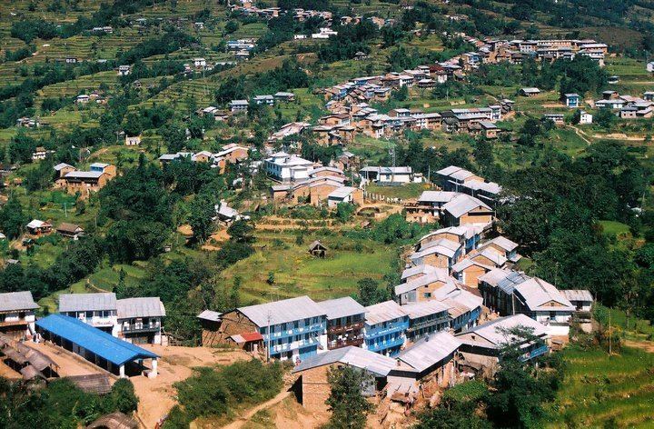
Diktel is a Municipality and the headquarters of Khotang District, a part of Sagarmatha Zone, Nepal. It was converted into municipality since May 2014 merging with the existing Bamrang, Laphyang and Kahalle vdcs
Contents
Map of Diktel 56200, Nepal
At the time of the 1991 Nepal census it had a population of 7,324 persons residing in 1,433 individual households.
The town is located at 27°12′50″N 86°47′52″E and has an altitude of 1,530 metres (5,020 ft). It contains a notable jail. During the Civil War the town was attacked by hundreds of Maoists rebels who also broke into Diktel jail and freed inmates
Media
To Promote local culture Diktel has two Community radio Station. One is Halesi FM - 102.4 MHZ and other is Rupakot Radio - 105.0 MHz.
References
Diktel Wikipedia(Text) CC BY-SA