
Town Under District Jurisdiction Digora | Local time Tuesday 7:47 PM | |
 | ||
Federal subject Republic of North Ossetia-Alania Municipal district Digorsky Municipal District Weather 6°C, Wind W at 3 km/h, 81% Humidity | ||
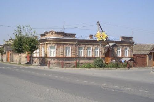
Digora (Russian: Дигора́; Ossetian: Дигорæ, Digoræ) is a town and the administrative center of Digorsky District of the Republic of North Ossetia–Alania, Russia, located on the Ursdon River (left tributary of the Terek), 49 kilometers (30 mi) northwest of the republic's capital Vladikavkaz. As of the 2010 Census, its population was 10,856.
Contents
- Map of Digora North OssetiaE28093Alania Russia 363410
- History
- Administrative and municipal status
- References
Map of Digora, North Ossetia%E2%80%93Alania, Russia, 363410
History
Founded in 1852 as the aul of Volno-Khristianovsky (Во́льно-Христиа́новский) and later renamed the selo of Novokhristianovskoye (Новохристиа́новское) and Khristianovskoye (Христиа́новское), it was finally given its present name in 1934. It was granted town status in 1964.
Administrative and municipal status
Within the framework of administrative divisions, Digora serves as the administrative center of Digorsky District. As an administrative division, it is incorporated within Digorsky District as Digora Town Under District Jurisdiction. As a municipal division, Digora Town Under District Jurisdiction is incorporated within Digorsky Municipal District as Digorskoye Urban Settlement.