
Postal codes 06888 Area 10.62 km² Population 222 (31 Dec 2008) | Time zone CET/CEST (UTC+1/+2) Dialling codes 034922 Local time Tuesday 1:18 PM Postal code 06888 Dialling code 034922 | |
 | ||
Weather 3°C, Wind NW at 11 km/h, 87% Humidity | ||
Pfefferspray reizgas kiel dietrichsdorf toni jensen gro einsatz
Dietrichsdorf is a village and a former municipality in Wittenberg district in Saxony-Anhalt, Germany. Since 1 January 2011, it is part of the town Zahna-Elster. From 1 January 2005 until January 2011 the municipality belonged to the administrative municipality (Verwaltungsgemeinschaft) of Elbaue-Fläming, and before that to the administrative municipality of Mühlengrund.
Contents
- Pfefferspray reizgas kiel dietrichsdorf toni jensen gro einsatz
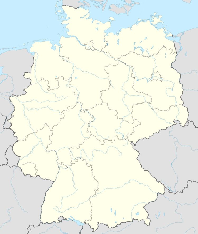
- Map of Dietrichsdorf 06895 Zahna Elster Germany
- Baseball kiel dietrichsdorf dukes 1995
- Geography and transport
- History
- Subdivisions
- Sightseeing
- References
Map of Dietrichsdorf, 06895 Zahna-Elster, Germany
Baseball kiel dietrichsdorf dukes 1995
Geography and transport
The community lies 9 km (6 mi) east of Wittenberg on the north bank of the Elbe. Through the community run the Federal Highway (Bundesstraße) B 187 and the railway line between Wittenberg and Cottbus.
History
The originally Slavic community of Dietrichsdorf had its first documentary mention on 14 November 1385. It was however named after the colonization leader Dietrich who led a group of German settlers during the East Colonization; the original Slavic name was not kept.
The subdivision of Külso had its first documentary mention in 1378. Külso, too, is of Slavic origin. The name comes from koko, meaning "rounding", "circle" or "round village", which most likely refers to the village's original shape. Since 1942, the community has been part of Dietrichsdorf.
Subdivisions
Dietrichsdorf has the following subdivisions: Gallin and Külso.