
Time zone CET/CEST (UTC+1/+2) Area 2.79 km² Population 93 (31 Dec 2008) Dialling code 036082 | Municipal assoc. Ershausen/Geismar Postal codes 37318 Local time Tuesday 12:56 PM Postal code 37318 | |
 | ||
Weather 4°C, Wind NW at 10 km/h, 86% Humidity | ||
Dieterode is a community in thüringan district Eichsfeld. She belongs to the municipal association Ershausen/Geismar.
Contents
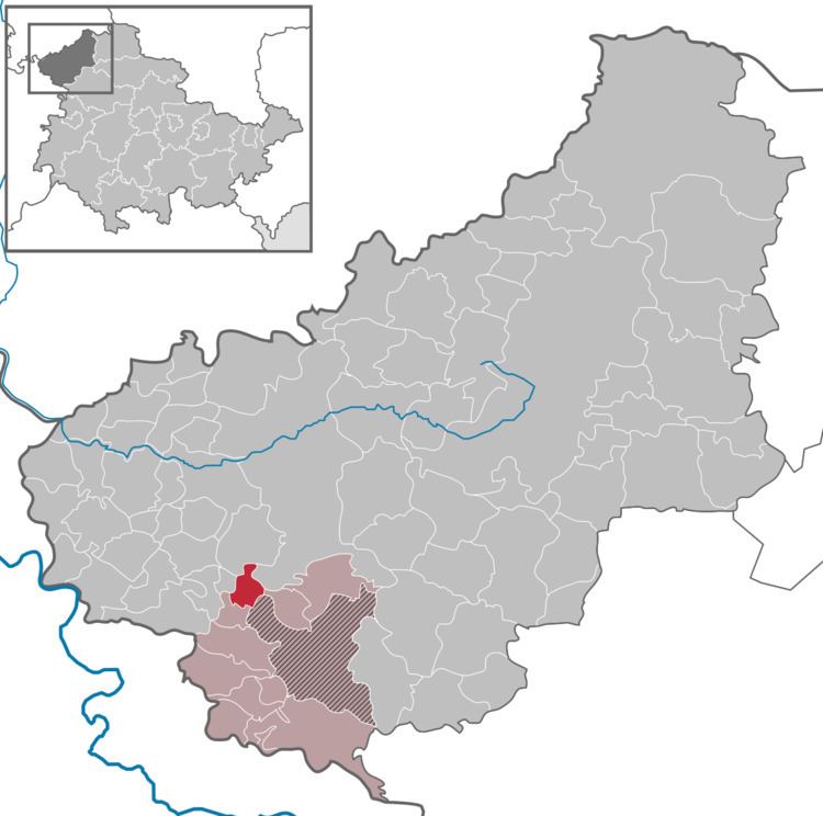
- Map of Dieterode Germany
- Situation
- History
- Demography
- Community council
- Mayor
- Tourist attractions
- References
Map of Dieterode, Germany
Situation
Dieterode, is situated eight kilometers south west of Heilbad Heiligenstadt between Höheberg and Rachelsberg. Neighbouring communities are Kalteneber (north east), Rüstungen, Schwobfeld (to the south) and Eichstruth (to the west).
History
the place is said to be firstly mentioned 1184 or 1251 as „Diethenroth“. The church, built in 1520, was newly built in 1785. In 1914, railway reached Dieterode. (Schwebda). Due to Inner German border closing, railway traffic ended in 1947. The rails were dismounted.
Demography
Source: Thüringian Statistics OfficeCommunity council
The Dieterode community council comprises 6 members.
The election proposal list of FFw (FFw = Voluntary Fire brigade) won all 6 seats (Date: 7. Juni 2009)
Mayor
The (voluntary) mayor Uwe Günther (FFw) was reelected on 06-06-2010.