
 | ||
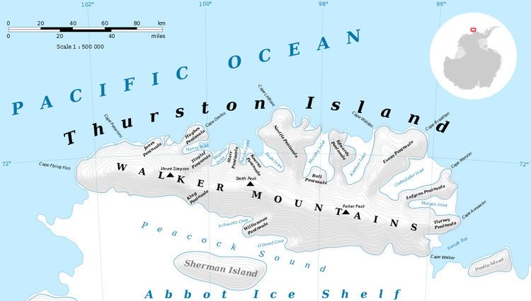
Dickens Peak (72°8′S 99°19′W) is a peak 1.5 nautical miles (3 km) north-northwest of Smith Peak in north-central Thurston Island. It was named by the Advisory Committee on Antarctic Names after Aviation Machinist's Mate J.D. Dickens, an aircrewman in the Eastern Group of U.S. Navy Operation Highjump, which obtained aerial photographs of this peak and adjacent coastal areas, 1946–47.
Contents
Map of Dickens Peak, Antarctica
Maps
References
Dickens Peak Wikipedia(Text) CC BY-SA